|
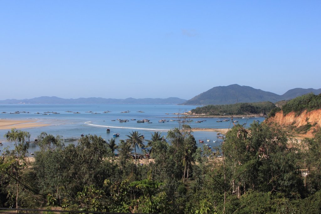 |
| Fishing port | |
| Latitude: N 13°23'15,04" | Longitude: E 109°14'8,01" | Altitude: 29 metres | Location: Phu Vinh | State/Province: Kon Tum | Country: Vietnam | Copyright: Ron Harkink | See map | |
| Total images: 26 | Help | |
|
|
|
| Fishing port | |
| Latitude: N 13°23'15,04" | Longitude: E 109°14'8,01" | Altitude: 29 metres | Location: Phu Vinh | State/Province: Kon Tum | Country: Vietnam | Copyright: Ron Harkink | See map | |
| Total images: 26 | Help | |